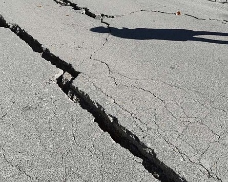
6.2 Magnitude Earthquake Hits Peru, Ecuador Border
A 6.2 magnitude earthquake recorded on the border between Peru and Ecuador on Monday evening.
According to the authorities in Peru, the earthquake struck about 43 kilometres east of the coastal town of Máncora in the Piura region of Peru.
The Peruvian Geophysical Institute said that the earthquake was measured to be at least 18 kilometres deep.
There have been no reports of fatalities, but authorities have said that at least two people have been injured and are receiving the necessary medical attention.
According to locals, the earthquake did not last very long, but it was strong. They said that people started to panic and ran out of their homes and into the streets.
Authorities have also confirmed that at least one house has been damaged by the earthquake.
Peru and its neighbouring countries are prone to earthquakes. This is due to their position within the so-called ‘Ring of Fire’ – a 40 000 kilometre long stretch in the Pacific Ocean where a large number of earthquakes and volcanic eruptions occur.
As much as 90% of the world’s earthquakes and volcanic eruptions occur along the ‘Ring of Fire’.
The last serious earthquake in Peru was in 2007. The 7.9 magnitude quake caused severe damage to several towns and to the lives of 595 people.